SAR land area to expand to nearly 37 square kilometres by 2040, amended master plan up for consultation
jun26
Macau’s land area projected to reach 36.96 square kilometres by 2040 through reclamation and airport expansion projects
Public consultation launches for master plan amendments to consolidate industrial land and establish specialised diversification hubs
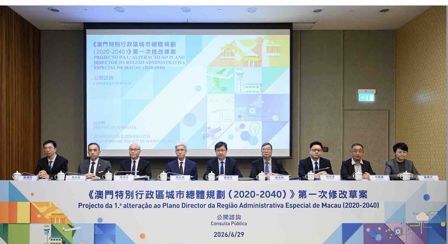
A 60-day public consultation has been launched today for the first amendment to the Macau SAR Master Plan (2020-2040), outlining a restructuring of the city’s urban fabric and an expansion of its total land area to 36.96 square kilometres by 2040.
According to the Land and Urban Construction Bureau, the current planning area covers 34.85 square kilometres. The projected expansion will be driven by the development of Zone D of the New Urban Zone, the reclamation and expansion of the Macau International Airport, and nearshore reclamation projects.
Industrial integration to drive economic diversification
Speaking at a press conference on Monday marking the start of the consultation, the Secretary for Transport and Public Works, Raymond Tam, stated that the revision aims to optimise the urban structure, adjust land use, and create a solid foundation for industrial diversification while enhancing the city’s overall competitiveness. The secretary emphasised that the government highly values public feedback and urged active civic participation during the 60-day period, which runs until 27 August and includes three public explanation sessions.
The amendment draft introduces a significant upgrade to the territory’s economic space by establishing a centralised hub for diversified industrial development. Land designated for industrial upgrades in the Concordia Industrial Park and Pac On Industrial Park will be merged into a unified core. Concordia will also be formally integrated into the Coloane Planning and Management Operational Unit. Concurrently, the layout of the knowledge and technology industry belt will be adjusted to optimise the spatial distribution of industries across the city.
Under the updated land use framework, which also factors in population projections for 2040, land allocation will be balanced across key sectors. Residential areas will account for approximately 20 per cent of the total land mass, while industrial, commercial, tourism, and entertainment zones will collectively comprise another 20 per cent. Ecological protection, green zones, and public open spaces are designated for 25 per cent of the land, with the remaining 35 per cent reserved for public infrastructure and utilities.
Zonal restructuring and cross-border adjustments
The draft master plan proposes sweeping reallocations for several major land plots. Land in New Urban Zone C will be shifted from residential and commercial use to public utility use to accommodate an international integrated tourism and cultural district. On the western side of New Urban Zone E1, residential zoning will be converted to commercial use.
Additionally, the plot along Avenida Wai Long will change from residential to industrial use to support the construction of a technological research and development park. The Macau International Airport will expand its land boundary under its broader expansion blueprint, designated as a public infrastructure zone to support the development of an international aviation transport hub on the west bank of the Pearl River.
The territorial scope will also see adjustment and administrative integration. The 18 existing planning zones will absorb areas previously left outside specific boundaries. The land and maritime areas southeast of the Gongbei Border Gate in Zhuhai will be integrated into the Northern-2 Planning and Management Operational Unit, while the “V-shaped” plot near the Border Gate will be officially designated as a green or public open space.
Also according to the draft, the Macau port area of the Hengqin Port and its adjacent areas will be incorporated into the Cotai Zone. Due to their specific functions, New Urban Zone A and the Macau Administration Zone on the Artificial Island of the Hong Kong-Zhuhai-Macau Bridge will be split into the Eastern-2 and Eastern-3 Planning and Management Operational Units. The waterway between the Macau peninsula
https://macaubusiness.com/sar-land-area-to-expand-to-nearly-37-square-kilometres-by-2040-amended-master-plan-up-for-consultation/


Comments
Post a Comment